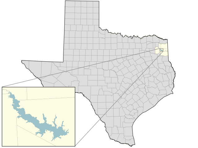
Lake O the Pines: 91.9% full as of 2026-10-13
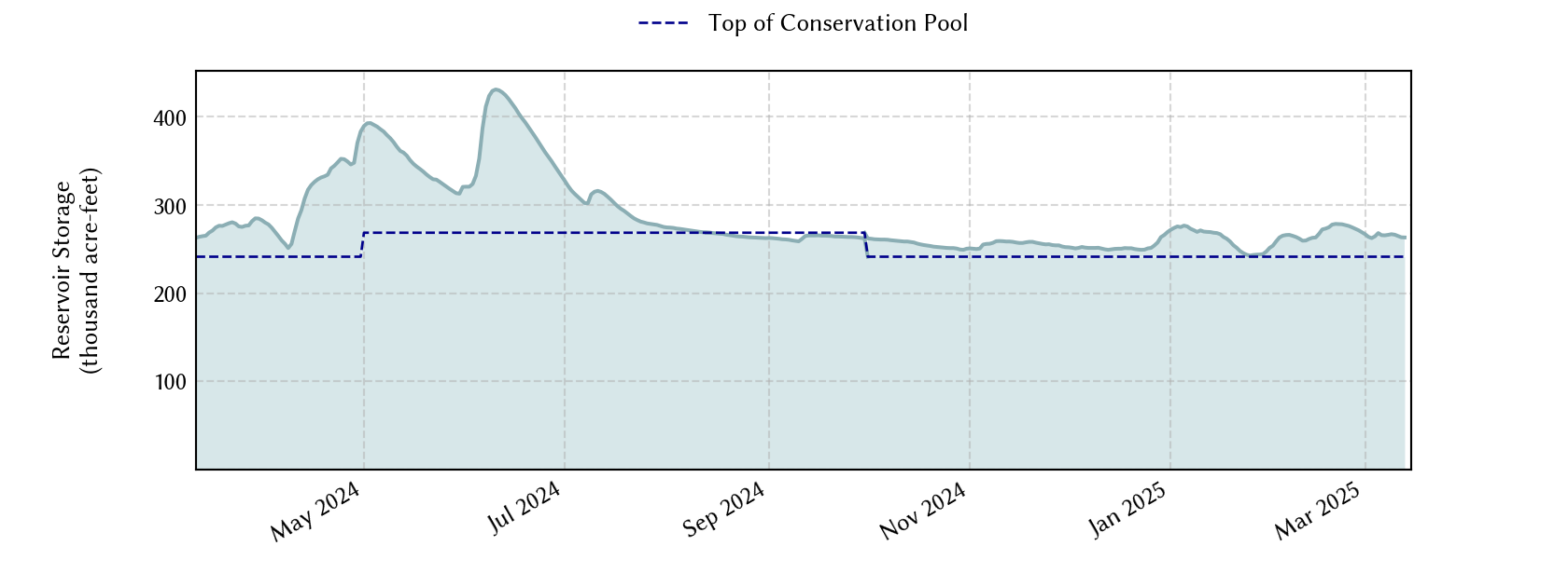
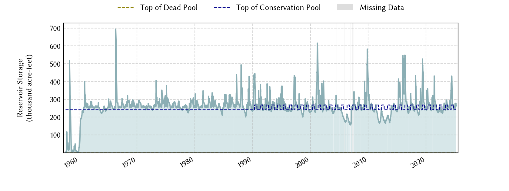
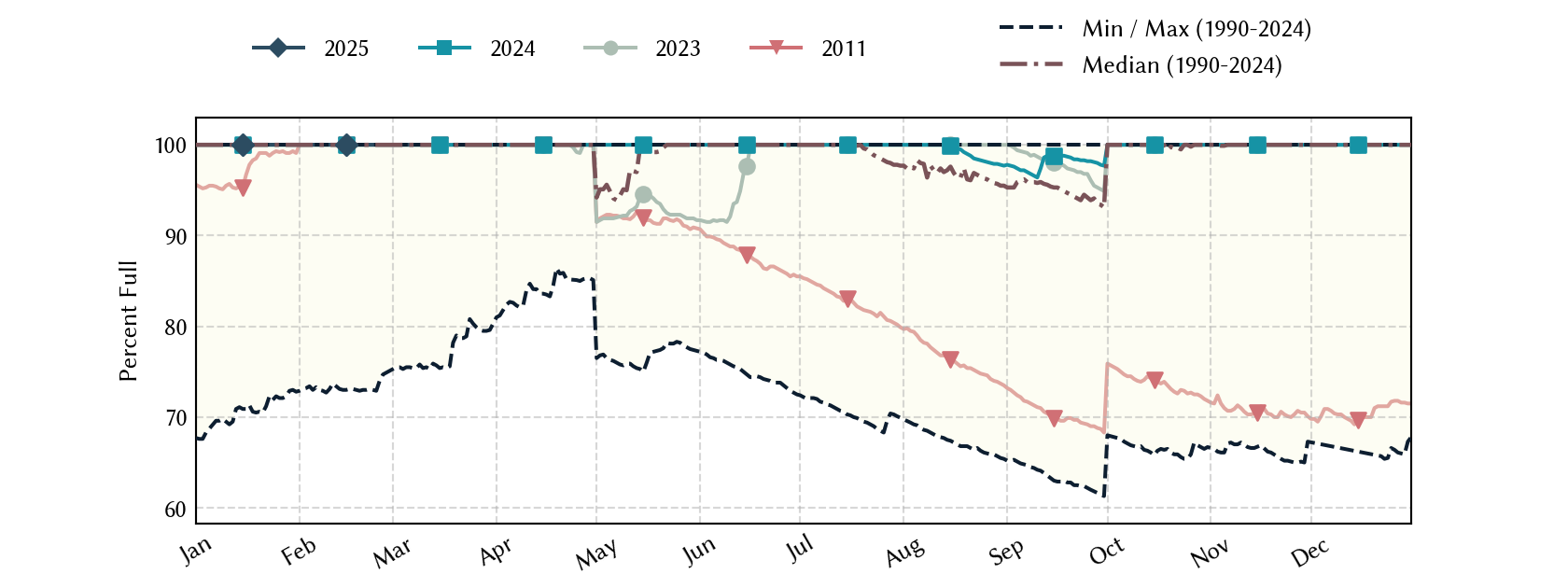
Historical Data
| Date | Percent Full |
Mean Water Level (ft) |
Reservoir Storage (acre-ft) |
Conservation Storage (acre-ft) |
Conservation Capacity (acre-ft) |
Surface Area (acres) |
|
|---|---|---|---|---|---|---|---|
| Today | 2026-10-13 | 91.9 | 227.36 | 221,704 | 221,704 | 241,363 | 16,856 |
| Yesterday | 2026-10-12 | 91.9 | 227.37 | 221,872 | 221,872 | 241,363 | 16,863 |
| 2 days ago | 2026-10-11 | 92.1 | 227.39 | 222,209 | 222,209 | 241,363 | 16,877 |
| 1 week ago | 2026-10-06 | 92.7 | 227.48 | 223,731 | 223,731 | 241,363 | 16,939 |
| 1 month ago | 2026-09-13 | 85.8 | 227.87 | 230,390 | 230,390 | 268,566 | 17,205 |
| 3 months ago | 2026-07-13 | 94.5 | 229.20 | 253,870 | 253,870 | 268,566 | - n.a. - |
| 6 months ago | 2026-04-13 | 99.5 | 228.43 | 240,130 | 240,130 | 241,363 | 17,589 |
| 1 year ago | 2025-10-13 | 100.0 | 228.62 | 243,485 | 241,363 | 241,363 | 17,716 |
*
Percent Full is based on Conservation Storage and Conservation Capacity and doesn't account for storage in flood pool.
**
Values above, including today's are averaged conditions. For near real-time instantaneous water level, see table below or the interactive map viewer.
Most Recent Instantaneous Water Level
| Date/time |
Water Level (ft) |
Conservation Pool Elevation (ft) |
Height Above Conservation Pool (ft) |
|
|---|---|---|---|---|
| Most recent | 2026-10-13 16:30 | 227.36 | 228.50 | -1.14 |
| 1 hour prior | 2026-10-13 15:30 | 227.35 | 228.50 | -1.15 |
| 2 hours prior | 2026-10-13 14:30 | 227.36 | 228.50 | -1.14 |
| 6 hours prior | 2026-10-13 10:30 | 227.35 | 228.50 | -1.15 |
| 12 hours prior | 2026-10-13 04:30 | 227.35 | 228.50 | -1.15 |
| 24 hours prior | 2026-10-12 16:30 | 227.37 | 228.50 | -1.13 |
| 48 hours prior | 2026-10-11 16:30 | 227.38 | 228.50 | -1.12 |
*
Data is provisional and subject to revision.
Additional Information
| Impoundment date | 1958-01-01 |
| Vertical datum | NGVD29 |
| Emergency spillway crest elevation | 249.50 ft above NGVD29 |
| Flood pool elevation | 249.50 ft above NGVD29 |
| Maximum design elevation | 269.90 ft above NGVD29 |
| Top of dam elevation | 277.00 ft above NGVD29 |
|
Conservation pool elevation |
230.00 ft above NGVD29 |
|
Conservation pool elevation |
228.50 ft above NGVD29 |
|
Conservation pool elevation |
228.50 ft above NGVD29 |
|
Conservation pool elevation |
228.50 ft above NGVD29 |
| Data download (CSV) | period of record, last one year, last 30 days |
| Data Source | USGS:07345900 |
| USGS Monitoring Location | USGS:07345900 |
Lake Location